Segment Series Trails
Falcon Creek - Whiteshell Provincial Park
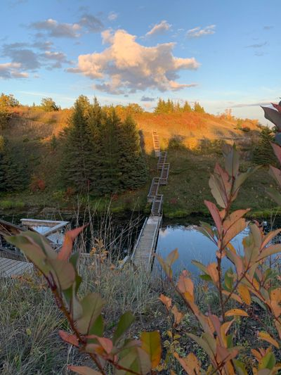
Hemenway Adventure - Whiteshell Provincial Park
Whiteshell River Trail - Whiteshell Provincial Park
Trailhead: Whiteshell River Trail (Mantario South Lot)
GPX: https://www.strava.com/routes/3215001806835335058/export_gpx
Falcon Rope Adventure - Whiteshell Provincial Park
Assiniboine Forest - Winnipeg
Eternal Springs - Near Virden
Blue Lakes - Duck Mountain Provincial Park
Pikes Peak - Porcupine Provincial Forest
Copernicus Hill and Glad Lake - Duck Mountain PP
Elk Island - Elk Island Provincial Park
Kinosao - Riding Mountain National Park
Seine River - Winnipeg
This trail is a little slice of nature in the BIG CITY. It is a fairly easy trail with a combination of single track and double wide sections. Any given day you will find all sorts of "wildlife" in this area. There are a number of trails in the area so it may be helpful to have the strava route out!
Trailhead: Parking
GPX: https://www.strava.com/routes/2789946706569372274/export_gpx
Segment Series Trails

Pinawa Trail - Near Pinawa
TCT Thornhill - Near Morden
Lost Lake - Whiteshell Provincial Park
Lake Minnewasta Loop - Near Morden
This is a looped trail around Lake Minnewasta that goes through both residential and recreational areas! Free parking is available on the street, parking in the campground has a fee.
Trailhead: Minnewasta
GPX: https://www.strava.com/routes/3215083715605538272/export_gpx
Gorge Creek - Riding Mountain National Park
Another classic on the East Escarpment, this is one where the prairie legs will be begging for a break! Stunning views and sweet single track. Highly recommend.
Trailhead: Gorge Creek Parking Lot
GPX: https://www.strava.com/routes/2907805311540401612/export_gpx
Reeves Ravine to Bald Hill - Riding Mountain National Park
This is an ABSOLUTE CLASSIC. Bald hill is one of the most picturesque spots in Manitoba. The prairie legs are going to feel the vert on this one though!
Trailhead: Parking Area
GPX: https://www.strava.com/routes/2756742329625501858/export_gpx
Strava: https://www.strava.com/routes/2756742329625501858
Squirrel Hills - Near Minnedosa
These are newly build trails that are amazingly done! There are often mountain bikes here so pay attention to the trails.
Trailhead: Parking Lot
GPX: https://www.strava.com/routes/3215098026983138292/export_gpx
Silver Bend Trails - Near Miniota
*The data for our Strava Route isn't working right now, we have to go back and redo the trail! We will update it soon as we have them. All trails does have the route but the link below may not work. Google search Silver Bend Trail and it should come up.
Trailhead: Silver Bend Parking
GPX:
Strava: https://www.alltrails.com/trail/canada/manitoba/silver-bend-trail--2
Bell Canyon Lookout - Porcupine Provincial Forest
Considered the "Grand Canyon" of Manitoba. This is a challenging and remote hike with some next level views of the escarpment. The trail itself is double wide for most of it, but the last half a km is some of the coolest areas we have hiked!
Trailhead: Parking on side of Highway
GPX: https://www.strava.com/routes/3215089474561894388/export_gpx
Langford Trails - Near Neepawa
Walking on Ancient Mountains - Nopiming Provincial Park
A short and sweet hike on some rugged Canadian Shield! The views on top of the 'mountain" are pretty nice too.
Trailhead: Walking on Ancient Mountains
GPX: https://www.strava.com/routes/3215148535366019552/export_gpx
Black Lake - Nopiming Provincial Park
This is a challenging trail with some absolutely stunning views! I consider this like Hunt Lakes little sibling. The beginning of the trail is somewhat convoluted due to multiple braided trails, and chances are you will get your feet wet here but its so worth it. There is a gorgeous little area at the Black River where you turn around that is a great spot too cool off in the water or have a picnic!
Trailhead: Black Lake
GPX: https://www.strava.com/routes/2763147591619234134/export_gpx